01First application — live pilot in build
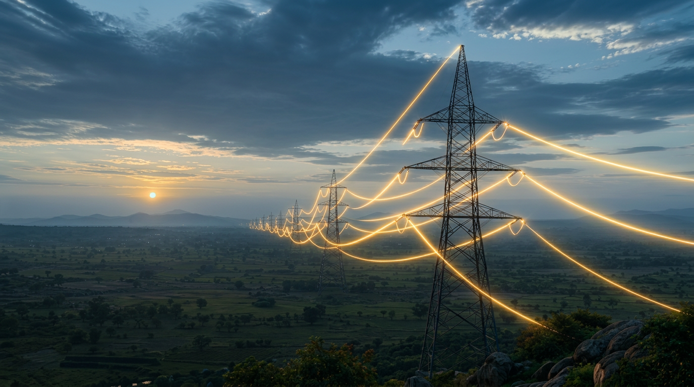
Power Transmission
Corridor risk, forest and land clearance sequencing, RE evacuation readiness.
AI decision systems for planners, utilities and ministries building India's next trillion dollars of infrastructure.
A single transmission line touches the ministries of power, environment, forests, tribal affairs, defence, railways and up to a dozen state agencies. A gas pipeline, a metro line, a highway — the same tangle, different names.
Every planner rebuilds the same map by hand. Rules live in PDFs. Constraints live in siloed GIS layers. Delay patterns live in audit reports that no one reads before commitment. The result: projects slip years, clean-energy targets miss, and capex earns less than it should.
Greeniti applies modern AI — retrieval, reasoning and geospatial models — to compress that coordination into a decision environment planners can actually use.
Transmission is India's most acute bottleneck — 84% of TBCB projects miss schedule, and clean-energy targets ride on fixing it. We're building the first version of the platform here because if AI can solve for transmission, it can solve for the rest.
How the platform works →The same underlying stack — regulation graph, constraint overlays, delay-pattern models — generalises across every linear and land-intensive sector in Indian infrastructure.
Corridor risk, forest and land clearance sequencing, RE evacuation readiness.
Feeder-level planning against reliability, loss and RDSS compliance.
GA rollout planning against RoU, PNGRB norms and demand geography.
Land use, mobility and utility overlays for cities and industrial corridors.
Linear infrastructure alignment under forest, tribal and defence overlays.
Basin-level planning under environmental and inter-state constraints.
Every recommendation is traceable to a rule, a dataset or an audited precedent.
We augment the planner. Statutory authority stays with the state.
Designed around Indian law, Indian data and Indian institutional workflows — not adapted from elsewhere.
We partner with utilities, ministries, developers and multilaterals to bring AI into planning workflows — starting with a scoped pilot on a real corridor, feeder or GA.